Japan’s Uncovered Fund Launches A $15 Million Fund For African Startups
Japan’s Uncovered Fund Launches A $15 Million Fund For African Startups. The African business market is booming with innovative start-ups that are changing the way people live lives as well as how business is conducted. Start-ups in industries like the Financial Technology industry have risen to provide solutions that will make people’s lives much easier and convenient. With the world adopting digital solutions to solve problems, Africa also needs investment in these sectors so that its economy and industries can advance in a rapid rate.
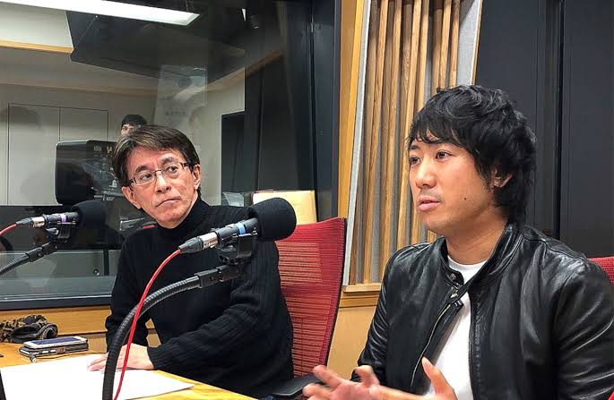
Uncovered Fund, a Tokyo based initiative announced that it has set up a $15m fund that aims to invest in African start-ups. The initiative founded by Takuma Terakubo will invest $50,000 to $500,000 in African startups in seed and Series A stages.
According to Terakubo, this fund will be different as it does not only provide financial assistance to start-ups but it will also provide support in various departments. Terakubo told TechCrunch that, “We do not make scattered, one-shot, small investments, but rather we provide long-term growth support, including follow-on investment. In addition, we not only invest, but we also multiply the huge assets of Japanese companies to grow the business and provide technical support and finance as well.”
Uncovered Fund focuses on startups based in Kenya, Nigeria and South Africa playing in retail, fintech, health tech, logistics, MaaS, agritech and smart city sectors. This fund aims to assist these start-ups to also enter into the international markets as it is often hard to do so without proper funding as well as expert guidance from companies that have the experience to do so.
“We are looking for African startups to expand their business across multiple countries. So, we welcome startups from any country as long as the business can scale. We are looking into joint development from Africa to Asian markets, and that is the big vision we have for the future. As a VC and also an entrepreneur, I’m looking forward to the challenge of working with African entrepreneurs to create that future.” Terakubo told TechCrunch.